Plat Book Sales
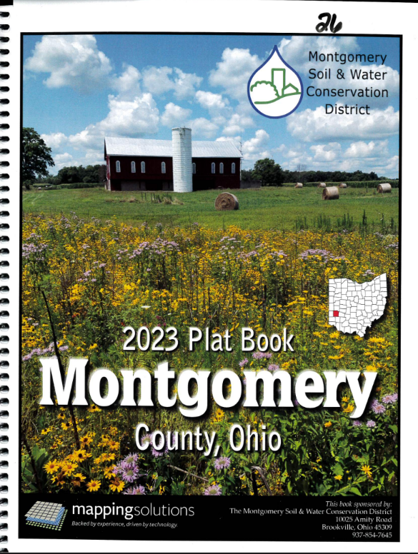
Who owns Montgomery County? Thousands of people have a piece of it. Now they are all listed in the new plat book published by the Montgomery Soil & Water Conservation District (SWCD) with Mapping Solutions. Updated and in print for 2023, it is available for $25 at the Montgomery SWCD office; or, order it on our website HERE!
The spiral-bound book features township and range maps of Montgomery County. These maps include the property boundaries for all rural parcels within the townships, the name of the owner and the number of acres owned. A handy Landowner Index and an Index of the Initialed Parcels allow for easy cross referencing. Also included in this new edition is information about the Montgomery SWCD, a Streams and Watershed Boundaries Map, and a Road Map. As an added bonus there is an explanation of the public land survey system. In addition to the printed book, a premium wall map is available for $50. Two digital versions of the Montgomery County landowner maps are available at mappingsolutionsGIS.com.
This information is highly valuable to anyone with a need to know who owns land in Montgomery County. Prospective or adjoining property owners, hunters, foresters, timber and petroleum industry personnel, emergency services, realtors and many others will find many uses for a copy or two of the new Montgomery County Plat Book.
Stop in or call the Montgomery SWCD with any questions and to get your copy of the new Plat Book!